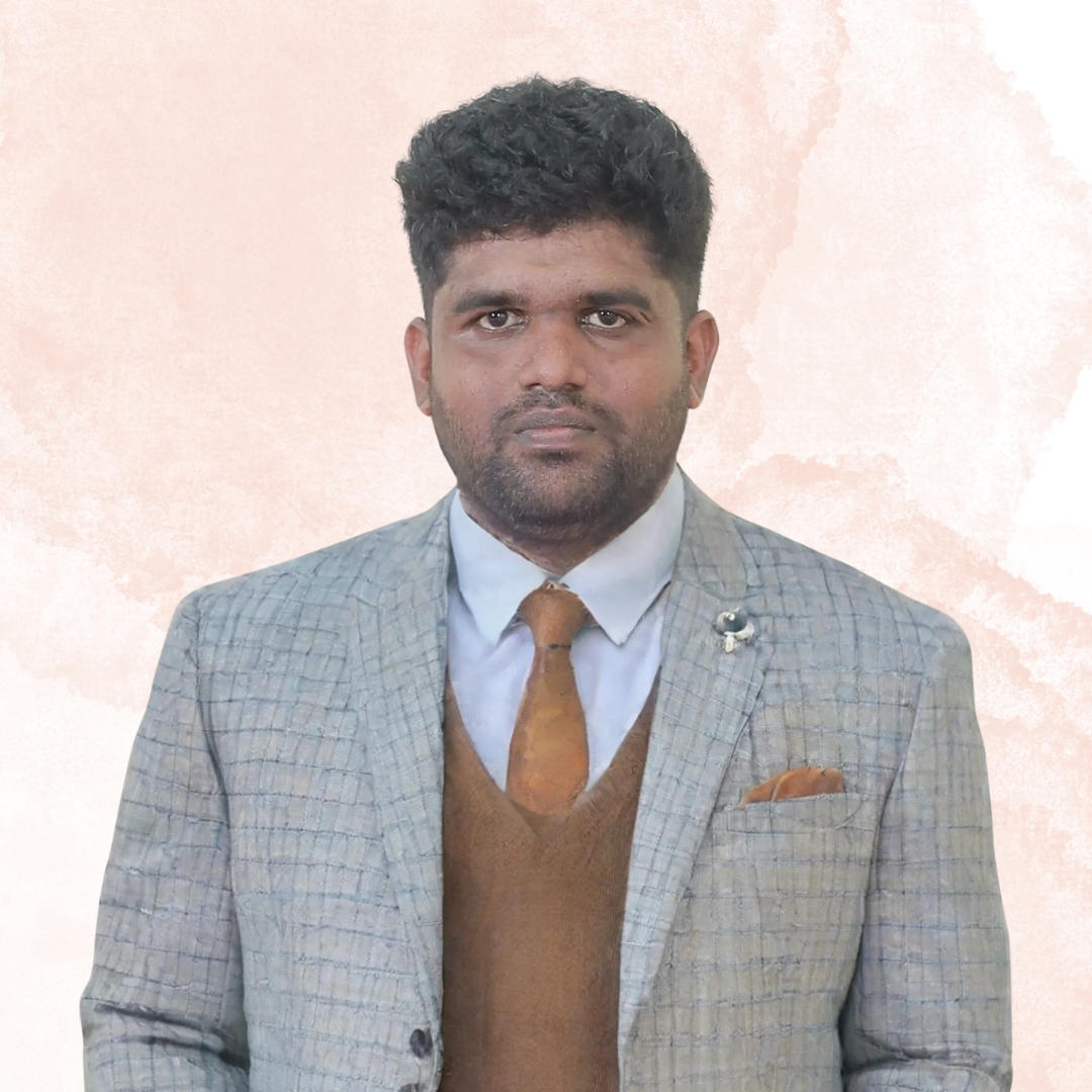
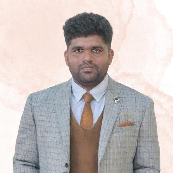
I came to GIS the long way around. My doctorate is in Applied Geology, completed over years of field-based coastal research where the maps lived on paper and the analysis lived in spreadsheets. The first time I traced a shoreline through DSAS instead of by hand, I understood how wide the gap had become between knowing what you want to measure and being able to execute it geospatially. Closing that gap, for other people, became the work.
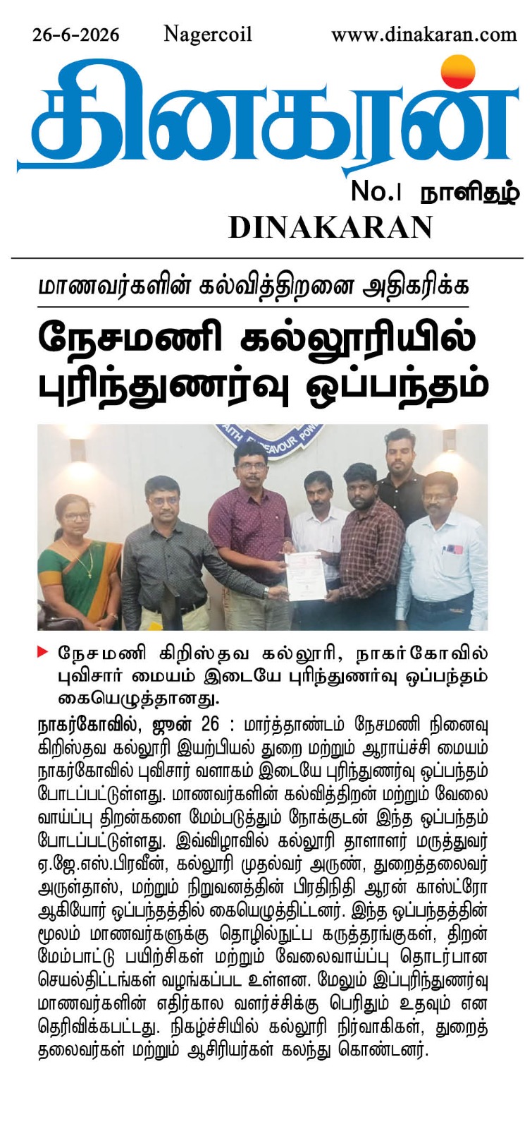
Geospatial Campus grew out of that realisation. The studio runs three things in parallel: hands-on training in GIS and remote sensing for students and faculty, Faculty Development Programmes for university departments, and geospatial project work for institutions that need decision-grade coastal, hydrological or LULC outputs. The work is grounded in field experience and the operating hours of a working practitioner, not the production calendar of a content factory.
Beyond the practice I sit on academic Boards of Studies, deliver Faculty Development Programmes at nationally recognised institutions, and write, three books so far, and a fourth in slow motion. Everything I publish is anchored in primary research or hands-on practice. If a workflow appears in our training, it is because we used it on a real project the week before.