Publications & books.
A living record of published books, indexed journal papers, doctoral thesis, and academic engagements. Updated as new work is released.
A living record of published books, indexed journal papers, doctoral thesis, and academic engagements. Updated as new work is released.
Limited-time free PDF downloads during launch. Kindle and paperback on Amazon.
 53% OFF
ASIN: B0GNMNNSQX
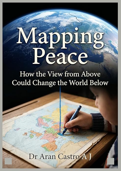
A study of how satellite imagery, GIS, and remote sensing reach beyond scientific research into peacebuilding, conflict mapping, and humanitarian response. The book argues that the view from above, once limited to governments and militaries, is now in the hands of communities, researchers, and policymakers working to understand, prevent, and resolve conflict through spatial data.
 80% OFF
Kindle ₹250 · Paperback $20.00
ASIN (eBook): B0GPJTVSR4 · ASIN (Paperback): B0GPQ41MKX
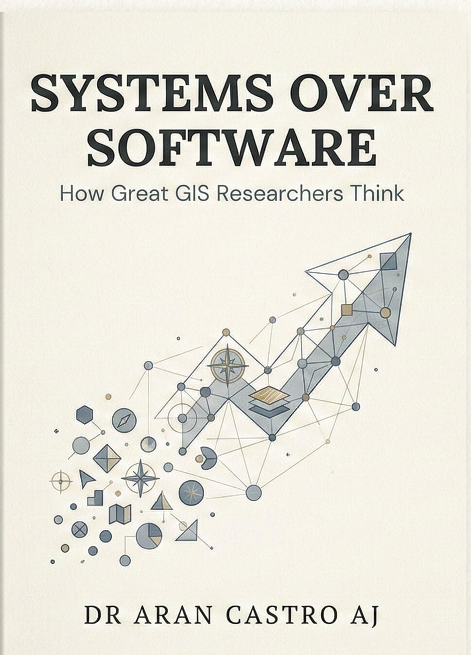
This book is a call to GIS professionals and researchers to move beyond software proficiency and develop the systems thinking that underpins great geospatial research. It examines how accomplished GIS researchers frame questions, design methodologies, select tools, interpret spatial outputs critically, and communicate findings effectively. Written for students entering the field, scholars in the midst of their research, and professionals who want to deepen the intellectual dimensions of their practice. This is not a software manual, it is a thinking manual.
 80% OFF
Kindle ₹250 · Paperback $19.00
ASIN (eBook): B0DD5RB31J · ASIN (Paperback): B0FWZXVL1X
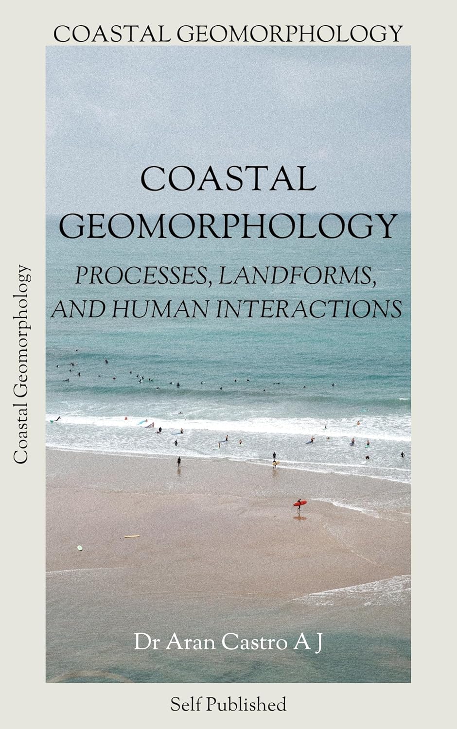
A field-and-lab text on coastal geomorphological processes, landform classification and evolution, and the complex interactions between human activities and coastal systems. Drawing extensively from the author's doctoral research on the Kanyakumari coast, the book covers marine, fluviomarine, fluvial, aeolian, and anthropogenic landforms, coastal erosion and accretion dynamics, land use impacts, and vulnerability assessment frameworks. Designed for undergraduate and postgraduate students in geology, geography, and environmental science, as well as researchers and coastal management practitioners.
Peer-reviewed journal publications in geospatial science, coastal geomorphology, and petrology.
Approximately six additional research papers are currently under peer review in various indexed journals. Full citations will be added upon acceptance and publication. Last updated: March 2026.
2021 · Annamalai University · Department of Earth Sciences (DST-FIST Sponsored).
The doctoral research conducted a full geospatial analysis of the 72 km coastline of Kanyakumari district (77°05'E to 77°36'E, 8°03'N to 8°20'N), from Arokiyapuram to Neerodi. The study delineated coastal geomorphological landforms into five categories (anthropogenic, marine, fluviomarine, fluvial, and aeolian), detected LULC changes from 2013 to 2021 revealing significant urbanisation and beachface loss, analysed shoreline changes from 2011 to 2021 showing dominant erosion particularly along the western coast, and assessed coastal vulnerability using a six-parameter CVI model (geomorphology, LULC, coastal slope, shoreline change, offshore bathymetry, and mean tidal range). CVI values ranged from 2.8 to 20.1, identifying Midalam village as the most vulnerable coastal area. The research demonstrated that anthropogenic activities, including fishing harbour construction, placer mining, land encroachment, and coastal defensive structures, are significantly exacerbating the geomorphological vulnerability of the Kanyakumari coastline.
I have helped scholars across multiple universities publish in Scopus and SCI journals. Let's discuss your research topic and where you're stuck.