Best Paper Award · ICMEM 2026
Athira Raj · Research Scholar, Srinivas University, Mangalore
“Land Use–Land Cover Change and Soil Degradation in Alappuzha District, Kerala: A Multi-Temporal Geospatial Assessment”
The gap between a thesis and a Scopus paper should not depend on which institution you walked into.
Research-grade geospatial work, training, thesis support, and consulting. I help PhD scholars, faculty and institutions move from raw satellite data to Scopus-indexed publications, without the dead-ends.
4.8★ from 97 reviews. Point your phone camera at the code — or open our Google profile →
Excellent GIS training, easy to follow and well organised. Sessions offer practical, hands-on training. A perfect offline course for both beginners and advanced learners.
Knowledgeable instructor with real-world experience in GIS applications. The learning process is practical and the curriculum is well-structured from fundamentals to advanced.
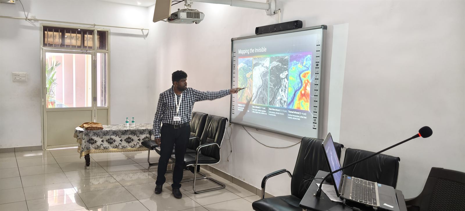
A hands-on programme taught by a working GIS Manager — live online or in person across four cities. Real satellite data, real workflows, a project you keep.
The training is good and the teacher is always helpful. A great place to build skills in GIS and Remote Sensing. Herlin HJ, course alumna
Four quick fields. We reply on WhatsApp within 24 hours.
Students and faculty want hands-on geospatial skills, but most courses teach buttons not workflows — so I teach GIS the way I use it daily for research, with every module ending in a real deliverable.
02 Research supportEnd-to-end support from problem statement to a defended Scopus manuscript. Methodology design, satellite-data preparation, statistical analysis, publication-grade figures, drafting and submission. Co-authored or sole-author tiers, both with a written scope before a rupee changes hands.
03 ConsultingScoped, written-proposal projects for coastal vulnerability atlases, multi-year LULC change studies, watershed analytics and climate-trend mapping. Recent engagements: 8-week CVI atlas · 12-week LULC study · 4-week climate dashboard. Reproducible workflow handed back at completion.
A 20-minute WhatsApp or call to understand your research, timeline, and what "done" looks like for you.
A clear written proposal: deliverables, data sources, milestones, fees. No surprise costs, no scope creep.
Weekly check-ins. Shared folders. You see every map, every script, every draft, as it's made.
Final maps, reproducible workflow, and, for scholars, a Scopus/SCI-ready manuscript you can defend.
“Land Use–Land Cover Change and Soil Degradation in Alappuzha District, Kerala: A Multi-Temporal Geospatial Assessment”

Peer-reviewed and Scopus-indexed. Scholars I've supported have published in peer-reviewed, Scopus-indexed journals across coastal vulnerability, LULC change and remote-sensing research. I keep names private until each scholar opts in publicly — that's a professional courtesy, not a shortage of work. WhatsApp me for a reference list you can cross-check on Scopus directly.
Geospatial Campus in 39 seconds · tap to play
Beyond client and research work, I build free public tools for environmental good. PlantNative lets anyone in India check whether a plant is native or invasive — by name or by photo — and find native alternatives to invasive species.
Built in support of India's native-tree movements — Van Mahotsav, Ek Ped Maa Ke Naam, and the National Mission for a Green India.
Completed a comprehensive hands-on GIS training program covering fundamentals to advanced applications in ArcGIS, ArcGIS Pro, QGIS, and open-source tools. Conducted remote sensing analysis using satellite imagery for tasks such as Land Use Land Cover (LULC) mapping, NDVI calculation, change detection, and vegetation health monitoring.
Geospatial Campus provides expert coaching in GIS and remote sensing software, featuring experienced instructors and modern infrastructure. Their budget-friendly courses make advanced learning accessible to all students.
Geospatial Campus provides good learning experience in GIS. The classes are useful and the faculty is supportive.
I highly recommend to trust them.
Salary bands by experience · Role demand shift · Top hiring sectors · 2026 – 2030 outlook. Built for students choosing where to specialise next.
Methodology: retrospective compiled from NASSCOM workforce reports, NRSC and ISRO publications, NSO sector data, and LinkedIn listings (2016–2025). Forecast section is a sector-extrapolation model with expert review. Author: Dr. Aran Castro A J · Version 1.0 · April 2026.
Coordinate & format converters, map measure, GeoJSON viewer, EPSG/CRS lookup, bounding box, tile/quadkey, GSD & geodesic calculators — all in your browser, nothing uploaded.
Step-by-step Land Surface Temperature retrieval from Landsat 8 with formulas, raster calc expressions, and troubleshooting.
 PDF eBook · Free
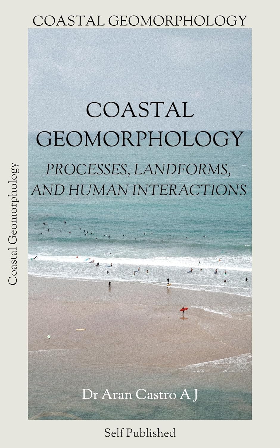
Processes, landforms, and human interactions. A field-and-lab reference for geomorphology researchers and PhD scholars.
 PDF eBook · Free
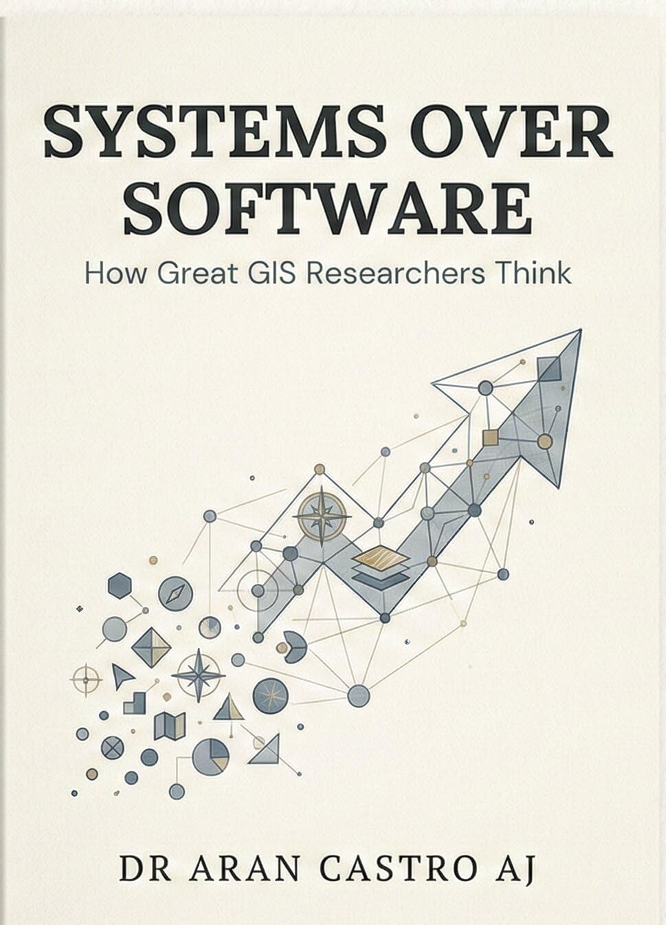
How great GIS researchers think. A playbook for scholars who want to move beyond button-clicking into real spatial reasoning.
Both. Join live online with Dr. Aran from anywhere, or in person at our Nagercoil, Kochi, Chennai or Coimbatore campuses. Same curriculum, same project, same certificate — pick what fits your schedule.
A curious student, graduate, researcher or working professional. No prior GIS software experience is required — we start at fundamentals (coordinate systems, data handling) and build to GEE, QGIS and AI/MCP workflows.
Yes. That's the bulk of my research-support work: methodology, satellite data acquisition, spatial analysis, maps, and preparing a Scopus- or SCI-indexed manuscript. I work with you, not for you, so your work remains your own.
Yes, coastal vulnerability assessments, LULC change detection, enterprise reporting dashboards, FDPs and custom training curricula. Start with a WhatsApp message describing the outcome you need.
The Advanced GIS Course starts from ₹28,000, depending on mode (online or offline) and track. Research-support and consulting are scoped project-by-project with a written proposal. No payment until we both agree on deliverables.
YouTube teaches isolated tools. A Scopus-indexed paper needs a defensible methodology end-to-end: research question → data → analysis → figures → discussion → submission. The 6–8 months scholars typically lose between "I learned the tool" and "the paper is accepted" is exactly what an experienced supervisor compresses. You pay for the path, not the buttons.
Yes. Online sessions are live and interactive — not recordings — led by Dr. Aran, with the same curriculum, project and certificate as the offline batches. In person adds peers in the room and shared-screen debugging; online adds flexibility. Pick what fits your schedule.
Your supervisor is not free; your supervisor is rationed. Most PhD supervisors carry 8–14 scholars and are pulled across teaching, admin and grants. They give intellectual direction; what they rarely have time for is sitting beside you for an afternoon while you fix a classification accuracy or rerun a buffer analysis. I am the second pair of hands that finishes the part of the work where supervisors run out of hours.
Tell me about your research, your project, or your training need. First reply within 24 hours, usually sooner, on WhatsApp.